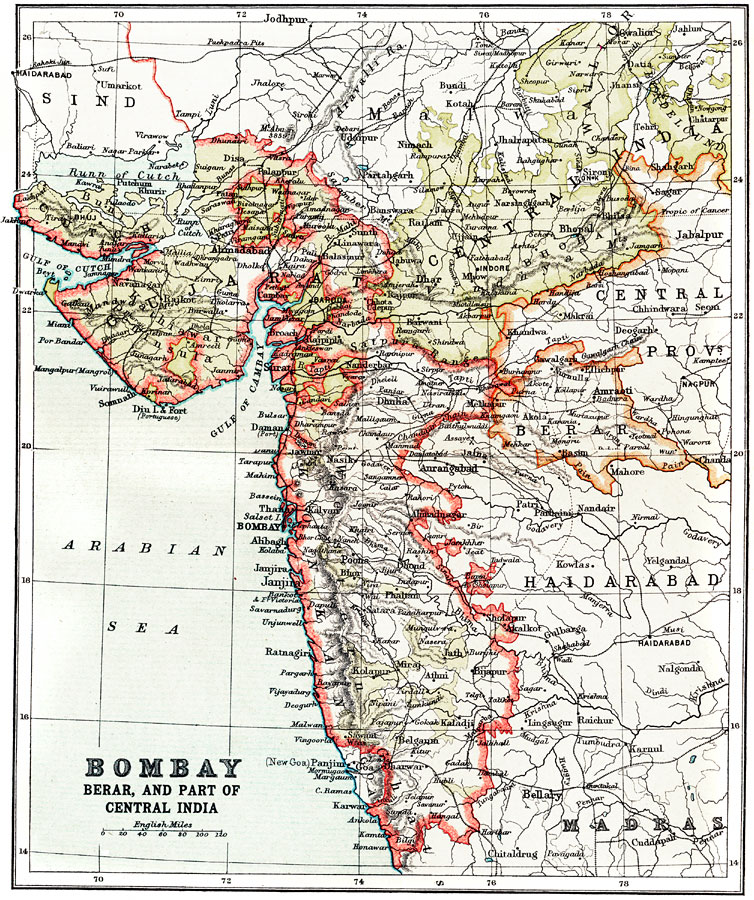
Bombay, Berar, and part of Central India, 1912
Click image to open full view
ARCMAP100221
DESCRIPTION
A map from 1912 of the west–central coast of India, showing the British provinces of Bombay (Mumbai), Berar, Gujarat, and part of the Central India Provinces at the time. The map shows provincial capitals, major cities, ports, railways, rivers, and coastal features along the Arabian Sea. Mughal Library