The Mutiny in Northern India, 1857–1859
Click image to open full view
ARCMAP100212
DESCRIPTION
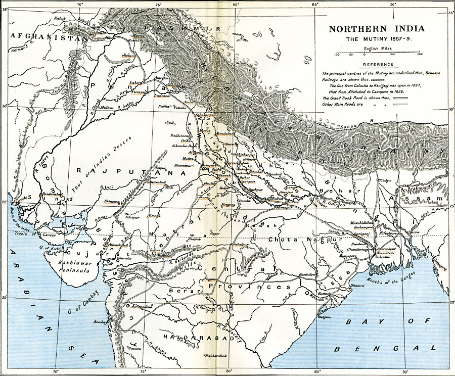
A map of northern India, subtitled "The Mutiny 1857—1859." At this time, the Indian Rebellion against the British East India Company, also known as Sepoy Mutiny or India's First War of Independence, erupted in the upper Gangetic Plain and central India, initially in Barrackpore near Calcutta. The map shows the principal centers of the Mutiny underlined in orange, the railways from Calcutta to Raniganj, reopened in 1857, and from Allahabad to Cawnpore (Kanpur), reopened in 1858. The map also shows the Grand Trunk Road from Chandernagore near Calcutta to Attock on the River Indus, and other major roads in the region. The map shows major cities, terrain features and rivers. Mughal Library